UN
31 Homestead Drive
£ 80,000
Description
We don't have a Description for this property.
- Bedrooms
- 3
- Bathrooms
- 0
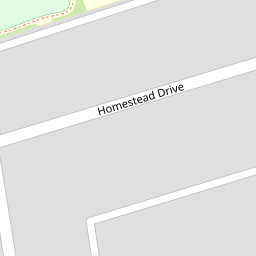
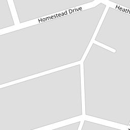
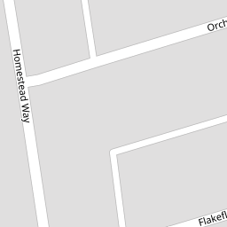
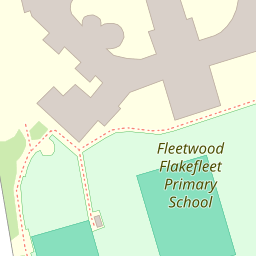

Leaflet © OpenStreetMap contributors
The heatmap indicates the level of crime in the area. The color of the heatmap indicates the crime severity and recency.
Metrics Year-on-Year
- Average area value
- 339,216.00 £Increased by 6.96 %
- Average area rental value
- 885.00 £/moDecreased by 9.51 %
- Est rental Yield
- 3.13 %Decreased by 15.41 %
- Crime Rate
- 8.00 %Unchanged by 0.00 %
from 317,140.00 £
from 978.00 £/mo
from 3.70 %
from 8.00 %
Nearby Schools
| Name | Type | Ofsted | Distance |
|---|---|---|---|
| Fleetwood Flakefleet Primary School | Community School | Good | 0.22 KM |
| Fleetwood High School | Foundation School | Requires improvement | 0.64 KM |
| Cardinal Allen Catholic High School, Fleetwood | Voluntary Aided School | Good | 0.99 KM |
| St Wulstan'S And St Edmund'S Catholic Primary School And Nursery | Voluntary Aided School | Requires improvement | 0.99 KM |
| Shakespeare Primary School | Community School | Outstanding | 1.23 KM |
Images
Nearby Streets
| Name | Average Price | Average Sqft | Distance |
|---|---|---|---|
| Hazeldene Road | £ 0 | 0 | 0.00 KM |
| Broadway | £ 265,000 | 0 | 0.00 KM |
| Brook Street | £ 94,725 | 0 | 0.00 KM |
| Wood Street | £ 165,000 | 0 | 0.00 KM |
| Little Wood | £ 64,950 | 0 | 0.00 KM |
Nearby Transport
| Name | NLC | TLC | Distance |
|---|---|---|---|
| Poulton-Le-Fylde | 2671 | PFY | 8.09 KM |
| Layton (Lancs) | 2669 | LAY | 8.29 KM |
Nearby Listings
| Address | Price | Type | Score | Distance |
|---|---|---|---|---|
| Whinfield Avenue, Fleetwood, FY7 | £ 130,000 | BUY | 6 / 10 | 0.14 KM |
| Whinfield Avenue, FLEETWOOD | £ 70,500 | BUY | 4 / 10 | 0.14 KM |
| Whinfield Avenue, Fleetwood, Lancashire, FY7 | £ 119,950 | BUY | 5 / 10 | 0.14 KM |
| Heathfield Road, Fleetwood, FY7 | £ 135,000 | BUY | Unknown | 0.15 KM |
| Homestead Way, Fleetwood, FY7 | £ 139,950 | BUY | Unknown | 0.18 KM |
Nearby Properties
| Address | Price | Distance |
|---|---|---|
| 21 Homestead Drive | £ 38,000 | 0.00 KM |
| 13 Homestead Drive | £ 83,000 | 0.00 KM |
| 22 Homestead Drive | £ 98,000 | 0.00 KM |
| 30 Homestead Drive | £ 124,000 | 0.00 KM |
| 28 Homestead Drive | £ 86,000 | 0.00 KM |